Take it hiking, hunting, and on the water.
The Garmin Montana 680 GPS features a dual-orientation, color touchscreen that’s glove friendly and includes a 1-year BirdsEye Satellite Imagery subscription. The digital camera provides high-quality images, excellent resolution, and automatically geotags photos with coordinates.
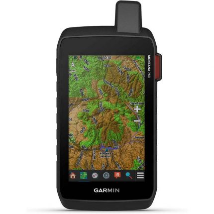
Enjoy the View
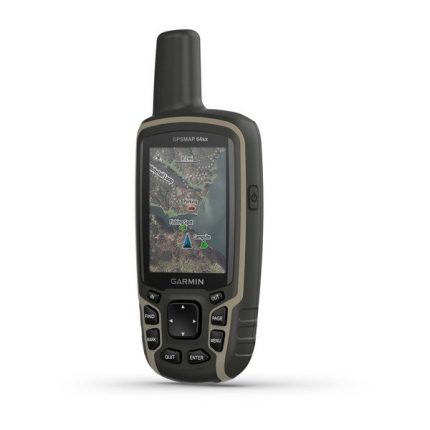
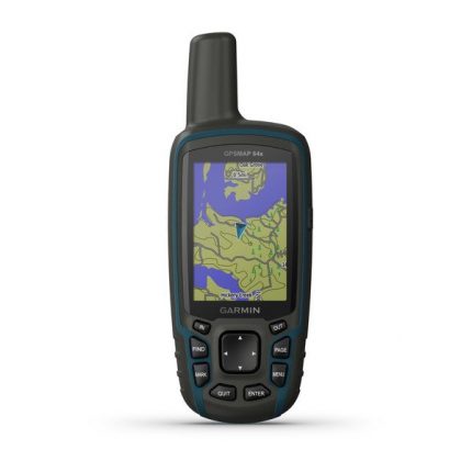
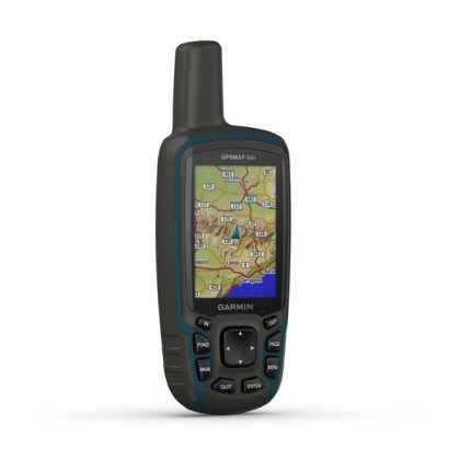
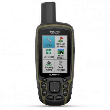
- The Montana 680 has a vast 4-inch, sunlight-readable touchscreen display, giving you vivid colors and high-resolution images. Its easy-to-use touchscreen means you’ll spend more time enjoying the outdoors and less time searching for information.
Take Geotagged Pictures
- Capture locations and memories with Montana 680’s 8-megapixel digital camera. Each photo is automatically geotagged with coordinates, allowing you to navigate back to that exact spot in the future. Keep track of your photos and see their locations on a map using BaseCamp™.
Mount Anywhere
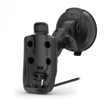
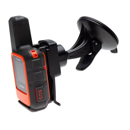
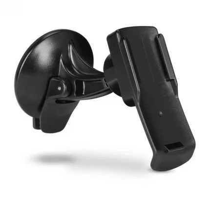
- With an array of compatible mounts, Montana 680 is designed for use on ATVs, in boats, as a handheld, or in your car or RV. Use the auto mount with City Navigator® NT maps for spoken, turn-by-turn driving directions or the rugged mount for your motorcycle or ATV.
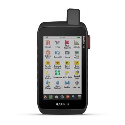
Go Everywhere
- Adding more maps to Montana is easy. Download TOPO U.S. 24K maps and hit the trail, plug in BlueChart® g2 preloaded cards for a day on the water, or load City Navigator map data for turn-by-turn driving directions. Add satellite images to your maps with BirdsEye Satellite Imagery (1-year subscription included). Or, transform paper maps into files you can download to your Montana with Custom Maps.
Share Wirelessly
- With Montana 680, you can share your waypoints, tracks, routes, and geocaches wirelessly with other compatible Garmin GPS users. Just press “send” to transfer your information to similar devices and let the games begin.
Keep Your Fix
- With its high-sensitivity GPS and GLONASS reception, WAAS-enabled receiver, and HotFix® satellite prediction, Montana 680 locates your position quickly and precisely and maintains it.
Navigate with Ease
- The barometric altimeter tracks changes in pressure to pinpoint your precise altitude or use it to plot barometric pressure over time to help keep an eye on changing weather conditions.
Find Fun
- Montana 680 supports paperless geocaching GPX files for straight-to-device uploading of geocaches from Geocaching.com. The track manager feature helps organize and navigate through waypoints/routes/ and tracklogs (easily start/stop recording tracklogs).
Plan Your Next Trip
- Our free BaseCamp software lets you view and organize maps, waypoints, routes, and tracks. This free trip-planning software even allows you to create Garmin Adventures that you can share with friends, family, or fellow explorers.
- For more information about the Garmin Montana 680 Handheld GPS, please use this link
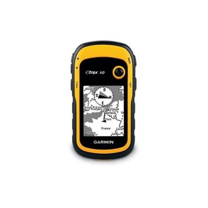
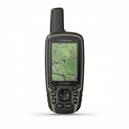
Buy Garmin Montana 680 Handheld GPS at the best price in Nairobi, Kenya. Wondering where to find the best Garmin GPS prices in Nairobi, Kenya? Look no more.
We have a wide array of Garmin GPS, Garmin running watches, golf equipment in Nairobi, Garmin bike GPS, Golf watches in Kenya, and much more. We also deliver to countries like Uganda, South Sudan, Tanzania, and much more.
Talk to us today and explore our handheld GPS in Kenya with a wide list of functions only at GrandHub Technologies.