
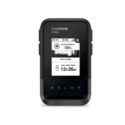
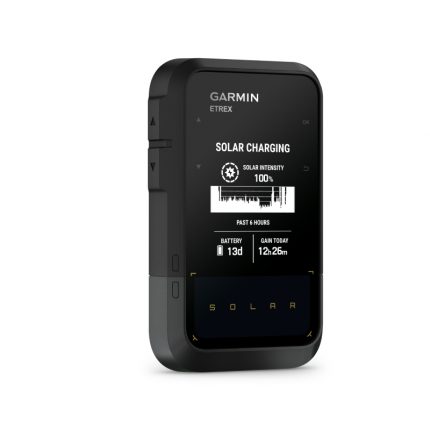
Garmin eTrex Solar
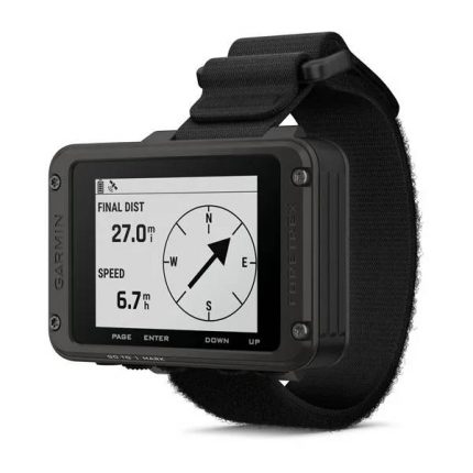
Garmin Foretrex 801 GPS


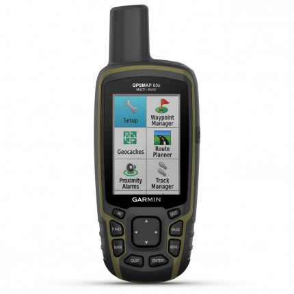
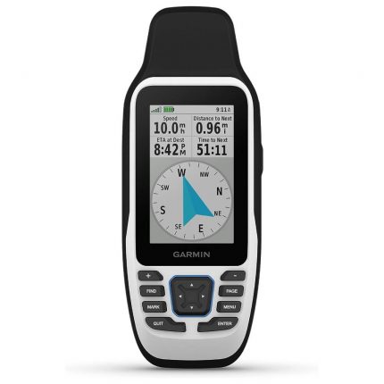
Garmin GPSMAP 65s Navigator
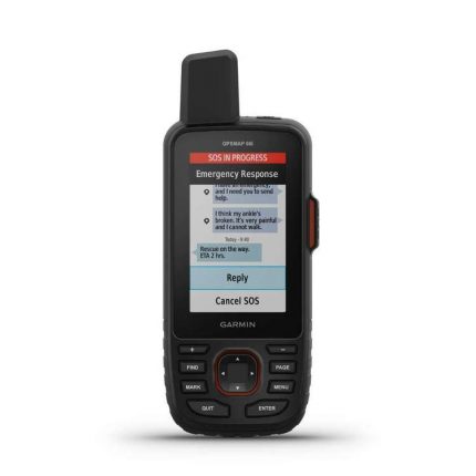
Garmin GPSMAP 66i GPS
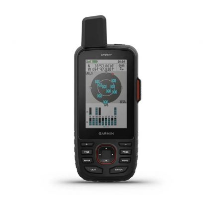
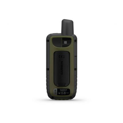
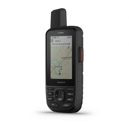
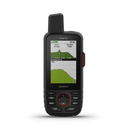
Garmin GPSMAP 67i GPS
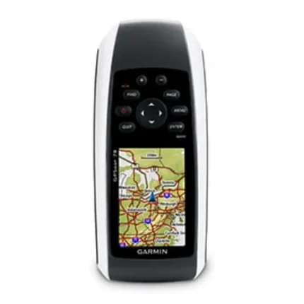
Garmin GPSMAP 78 Navigator
- Display: 2.6-inch monochrome LCD, 160 x 240 resolution.
- Waterproof: IPX7-rated, can withstand submersion in 1 meter of water for up to 30 minutes.
- Battery Life: Up to 20 hours with 2 AA batteries (not included).
- Preloaded Maps: Base map with access to additional mapping options (like BlueChart g2 and TOPO maps) available.
- GPS Receiver: High-sensitivity GPS and GLONASS support for fast and accurate positioning.
- Navigation: Supports waypoints, routes, and tracks, with advanced navigation features.
- Connectivity: USB interface for data transfer to/from compatible devices.
- External Memory: microSD card slot for additional storage and map expansion.
- Barometric Altimeter: Provides precise altitude data and weather trend information.
- Wireless: Bluetooth wireless connectivity for data transfer with compatible devices.
- Compatibility: Compatible with optional mapping software, such as BlueChart g2, City Navigator, and TOPO maps.